Strava, with over 50 million athletes and one million more joining every 30 days, and in place to help both runners and retailers find a place to get out and run, has unveiled Routes, a new tool to help athletes find the best places to run and ride.
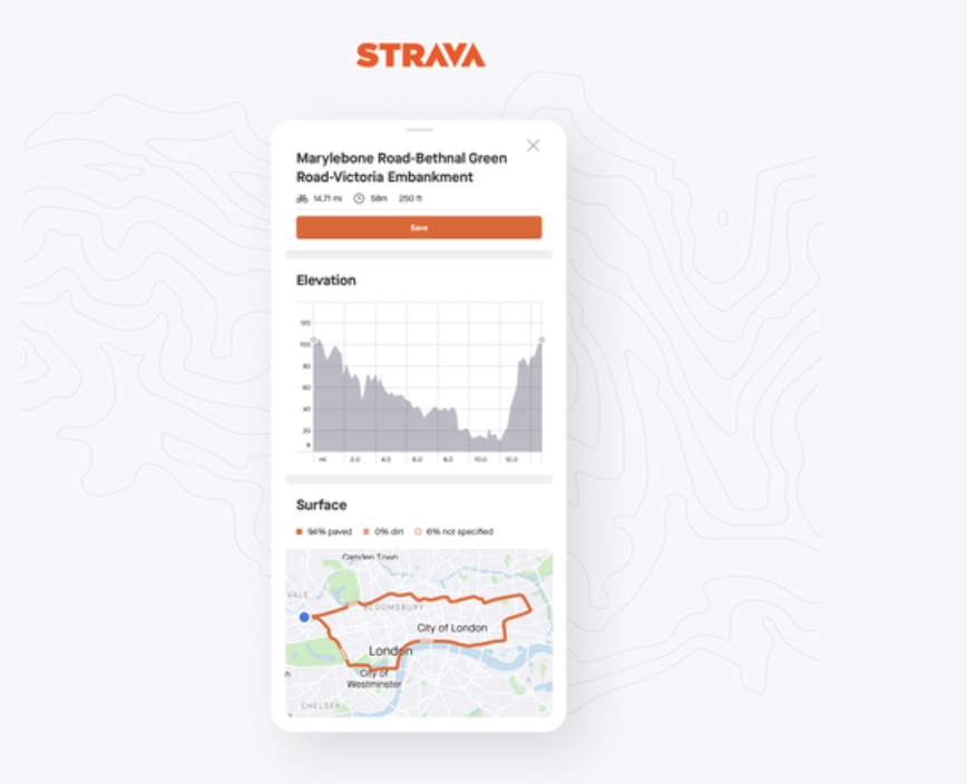
With more than three billion activities uploaded from all over the world, Strava makes the claim that that it “knows where athletes actually run and ride.” The new Routes tool uses that knowledge to provide route recommendations personalized to athletes’ preferences for location, distance, surface type (pavement or dirt) and hilly or flat terrain. It makes for an ideal tool for anyone looking to run while maintain their social distancing.
Terrain surface type is powered by OpenStreetMap, “the world’s largest open-source map,” and enriched with data from the Strava community.
Additional features to help runners learn the ins and outs of the route choices now that it is more important than ever to know exactly where their run is taking them, include:
- Time estimates based on recent activity pace, personalized for every athlete.
- Details screen showing elevation and surface changes.
- Optional Heatmap overlay to see popularity on any particular section of a route.
- Once athletes find a route they like, they can save it and navigate directly from the Strava app.
For more: www.strava.com